Yosemite Falls — 2425ft Tiered in California
Yosemite Falls is a 2425-foot tiered waterfall in Mariposa County, California, reached by a strenuous backcountry trek over 7.2 miles.
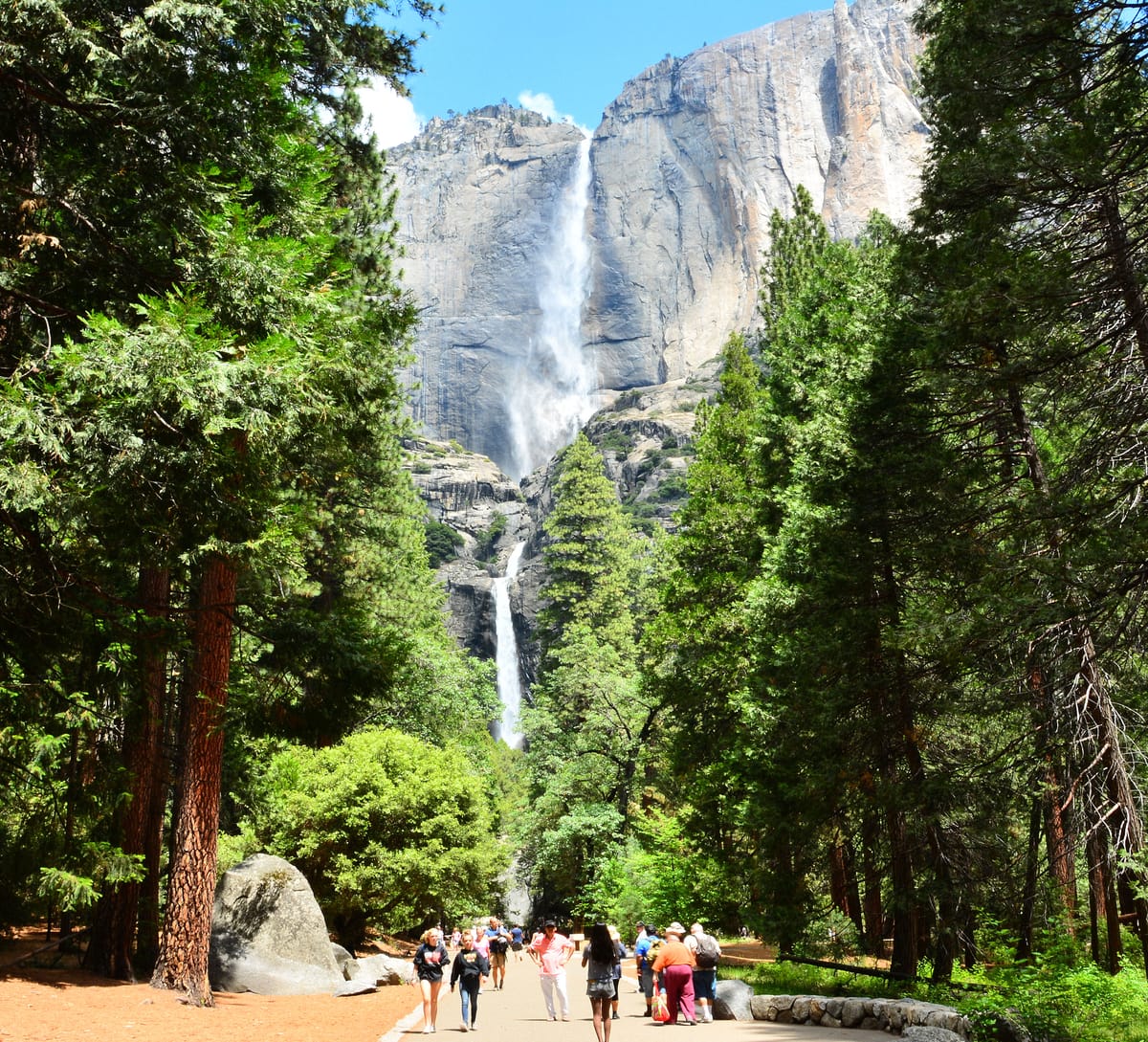
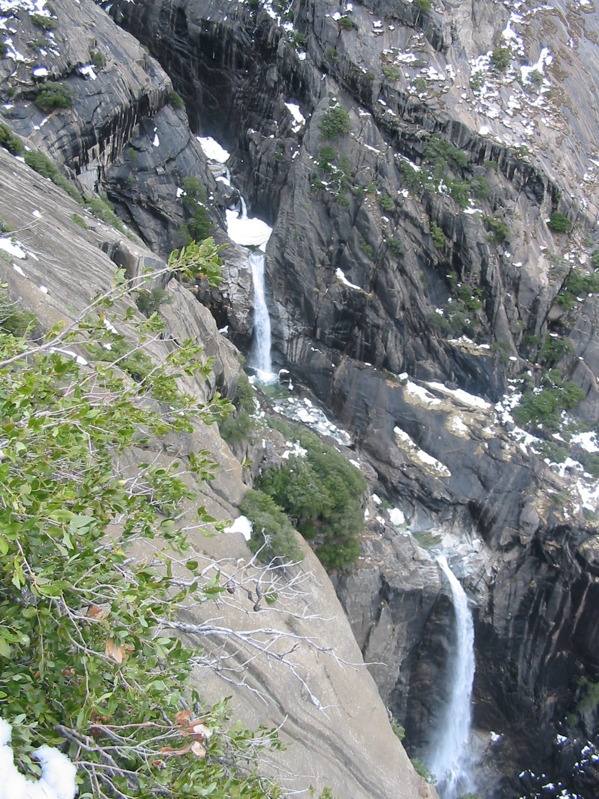
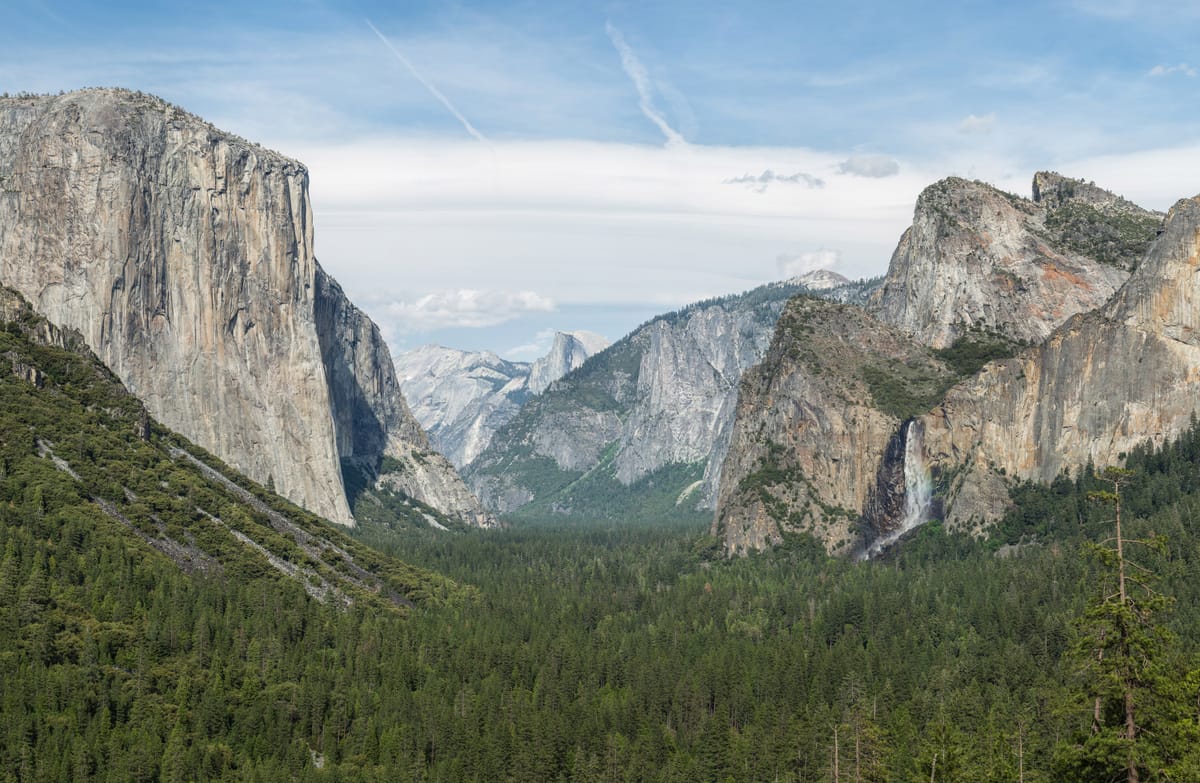
Yosemite Falls is the 2,425-foot tiered cascade — North America's tallest waterfall and one of the world's tallest — descending in three drops from the rim of Yosemite Valley to the valley floor, framed by the granite walls that define Yosemite National Park. Upper Falls (1,430 feet) is the longest single drop; Lower Falls (320 feet) is the family-accessible viewpoint reachable via a flat 1-mile loop. The Upper Yosemite Falls Trail to the rim is a brutal 7.2-mile, 2,700-foot-gain hike. Peak flow runs late March through June; by August the falls can dry to nothing in low-snow years.
What to expect
Yosemite Valley parking fills early in summer; arrive before 9 AM or use the YARTS shuttle. Lower Yosemite Falls is a 1-mile flat paved loop from the Yosemite Valley Lodge area — family-friendly, soaked in spray during peak flow. Upper Yosemite Falls Trail is 7.2 miles round-trip with 2,700 feet of elevation gain. The Columbia Rock viewpoint at 1.5 miles is a turnaround for those who don't want the full climb. Pair with Bridalveil Fall, Vernal Fall, and the Mist Trail.
Best season
spring runoff
Dogs
No pets
Permit
Not required
County
Mariposa County
Trail beta
No permit for the day hike, but Yosemite National Park reservation rules apply in summer.
Photography tip
Plan for spring runoff and try a mid-range focal length to layer the multiple drops that make Yosemite Falls feel so tall.
FAQ
Plan more in California
Want a full itinerary? Start with the state hub, then grab the best-waterfalls and easy-hikes mini-guides.