Multnomah Falls — 620ft Tiered in Oregon
Multnomah Falls is a 620-foot tiered waterfall in Multnomah County, Oregon, reached by a moderate hike over 2.2 miles.
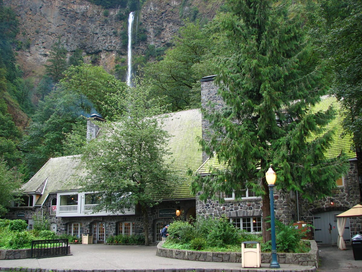
Multnomah Falls is the 620-foot two-tiered waterfall in the Columbia River Gorge — Oregon's most-visited natural attraction and one of the most photographed waterfalls in the U.S. The iconic Benson Footbridge crosses the gorge between the Upper Falls (542 feet) and Lower Falls (69 feet), creating one of the world's signature waterfall viewpoints. The 2.2-mile paved switchback trail to the top is moderate; the Lower Falls overlook from the lodge area is wheelchair-accessible. The Historic Columbia River Highway access requires timed-use permits during peak summer afternoons.
What to expect
Drive Interstate 84 east from Portland to the Multnomah Falls exit. Or drive the Historic Columbia River Highway (Highway 30) for the scenic approach with timed-use permit during summer. Park in the lodge lot (free, fills early). Lower Falls viewpoint is right at the lodge. The 2.2-mile switchback trail to the top of Upper Falls is moderate with about 700 feet of elevation gain. Pair with other Columbia River Gorge waterfalls (Wahkeena, Horsetail, Latourell, Bridal Veil, Punchbowl).
Best season
spring runoff
Dogs
Leashed dogs allowed
Permit
Not required
County
Multnomah County
Trail beta
Timed-use permits apply on busy summer afternoons for the Historic Columbia River Highway.
Photography tip
Plan for spring runoff and try a mid-range focal length to layer the multiple drops that make Multnomah Falls feel so tall.
FAQ
Plan more in Oregon
Want a full itinerary? Start with the state hub, then grab the best-waterfalls and easy-hikes mini-guides.